Geovonic Connect
Geovonic Connect revolutionises data integration within ArcGIS. Now you can seamlessly access real-time data from third-party systems directly within your existing mapping applications.
Geovonic Connect revolutionises data integration within ArcGIS. Now you can seamlessly access real-time data from third-party systems directly within your existing mapping applications.
How it works
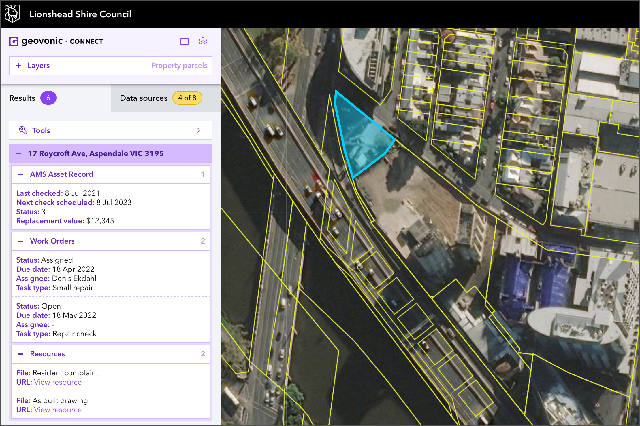
Geovonic Connect enables you to retrieve information from business systems and view it inside ArcGIS. Users can select features on a map and view associated third-party information, retrieved in real-time via Geovonic Connect.
Geovonic Connect enables you to retrieve information from business systems and view it inside ArcGIS. Users can select features on a map and view associated third-party information, retrieved in real-time via Geovonic Connect.
Retrieve
Connect data from existing business systems, or environmental data like weather forecasts to map locations
Launch
Use map locations to launch applications, URL parameters, or Google Street View
Report
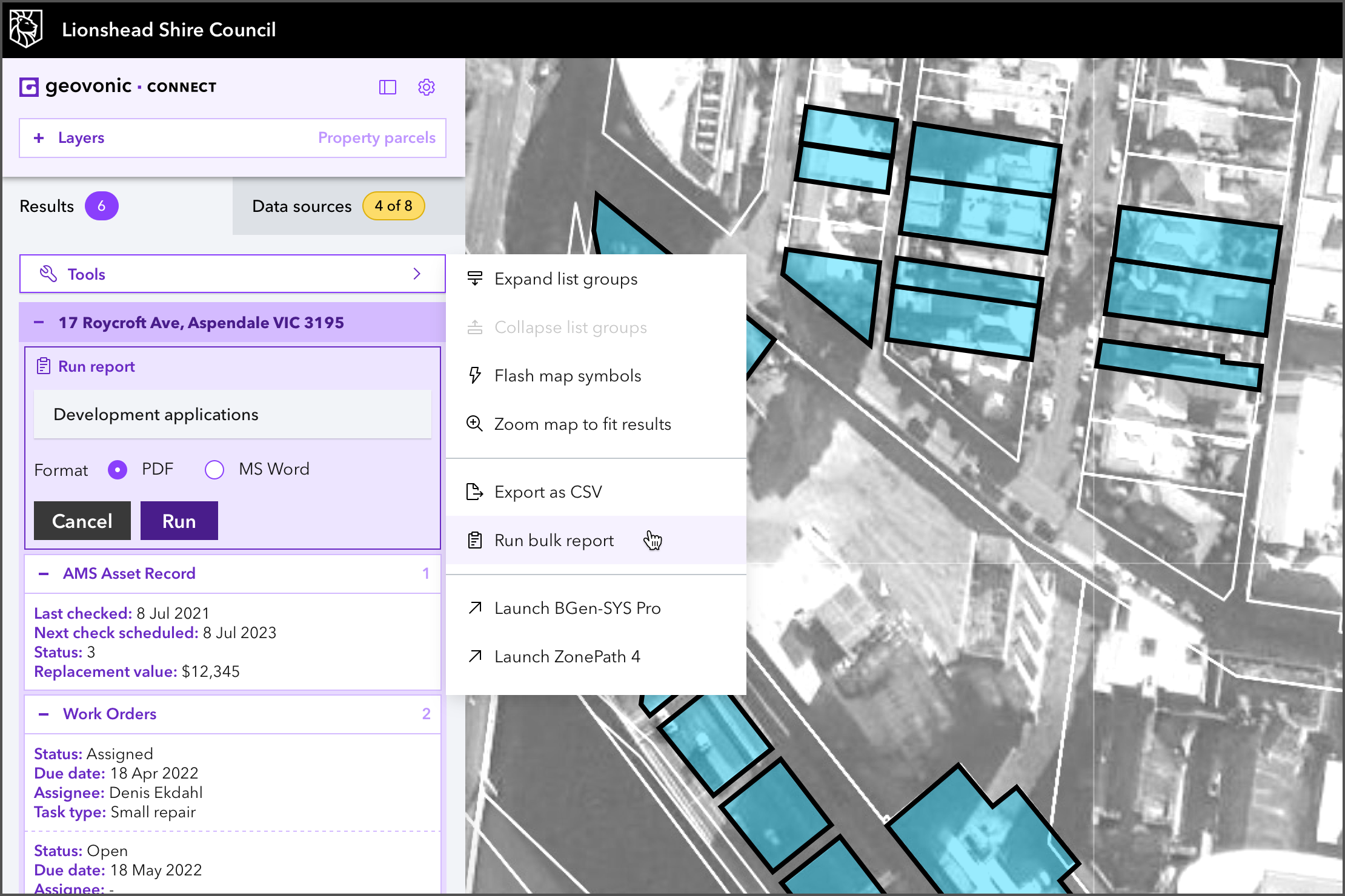
Generate formatted reports combining ArcGIS data and maps with information from connected business systems
How it looks
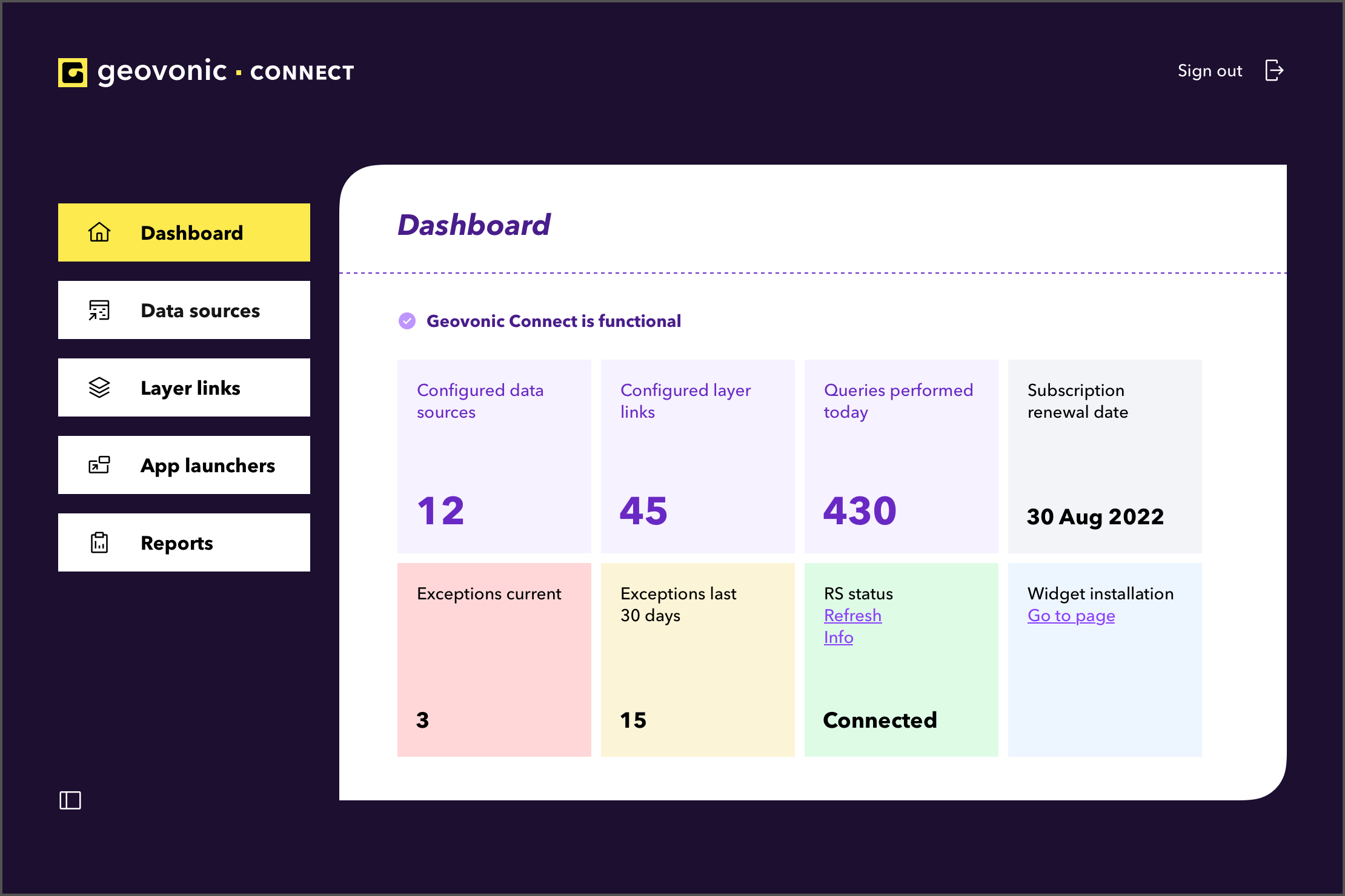
Familiar tools and intuitive methods make it easy to get up and running quickly with Geovonic Connect
Familiar tools and intuitive methods make it easy to get up and running quickly with Geovonic Connect
Connectors
A range of Connectors comprising Data Sources and App Launchers is available out of the box, additionally custom Connectors can be developed on request. Existing Connectors provide real-time integration with Salesforce, SharePoint, Civica, TechnologyOne, relational databases, AWS, weather services, Google Maps and file-based data sources.
A range of Connectors comprising Data Sources and App Launchers is available out of the box, additionally custom Connectors can be developed on request. Existing Connectors provide real-time integration with Salesforce, SharePoint, Civica, TechnologyOne, relational databases, AWS, weather services, Google Maps and file-based data sources.
Geovonic Connect to


